June 16–September 16, 2012
THE EXpedition route
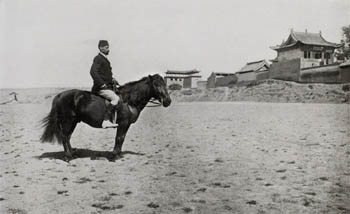
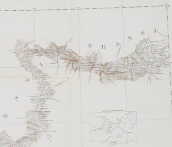
The expedition initially set up camp on the outskirts of the city of Taiyuan in the spring of 1908. The expedition leaders established a baseline, the principal point of reference for the survey, and assembled a team of attendants and pack animals for the trek. Over the next nine months the team traversed the western mountains of Shanxi, forded the Yellow River, and followed the contours of the Loess Plateau along the northwest frontier of China, all the way to Lanzhou in Gansu province. From Lanzhou they had planned to turn south along the Tibetan Plateau and return to the coast via the Yangtze River. Tragically, the expedition was cut short in June 1909, when the surveyor Hazrat Ali was killed by villagers while traveling alone to make mapping observations. The Chinese, British, and American governments recalled the expedition, and the team disbanded later that fall.