June 16–September 16, 2012
Mapping shên-Kan
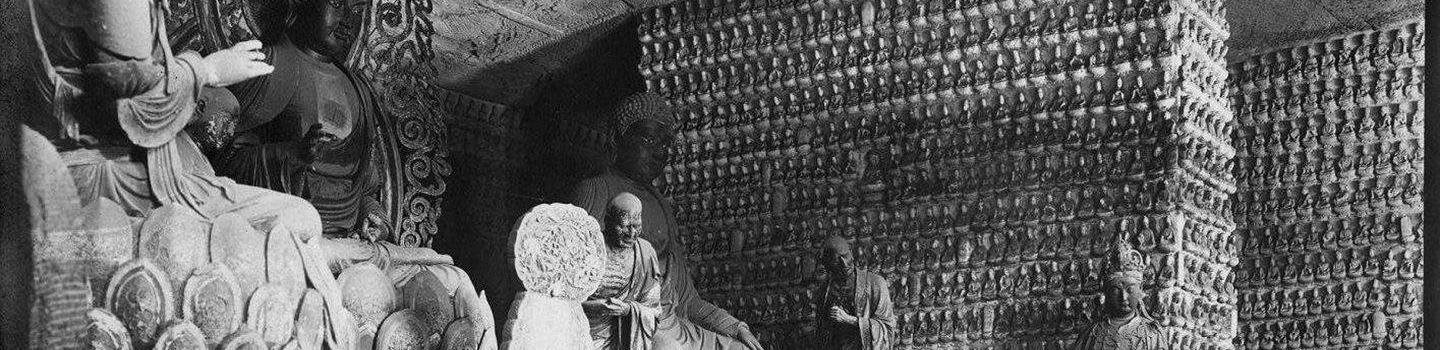
The principal achievement of the expedition was the creation of a detailed topographical map of the regions they traversed. The data for the map was collected by the surveyor Hazrat Ali until his murder in the mountains south of Lanzhou in late June 1909. The opening lines of Through Shên-kan take special notice of the map and the methods used to ensure its accuracy. Clark kept meticulous notes and records of weather conditions, astronomical observations, and daily events. One colorful entry tells of how he was robbed on April 18, 1909: “Waked up in middle of night by board falling on floor. We both shouted I asked who it was. Man did not answer + vamoosed. Then only did we think it was a thief....Trousers, with watch chain + keys; jacket + waterproof gone.” See Clark’s notebook online. Many of Li Ju’s photographs are presented in a special installation, Then & Now: Photographs of Northern China, at Stone Hill Center in conjunction with the Through Shên-kan exhibition.