
July 4–October 10, 2016
aerial views of stone hill, 1935-2015
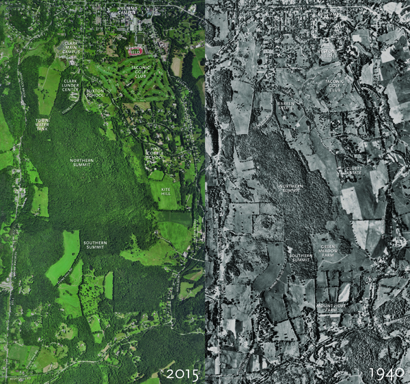
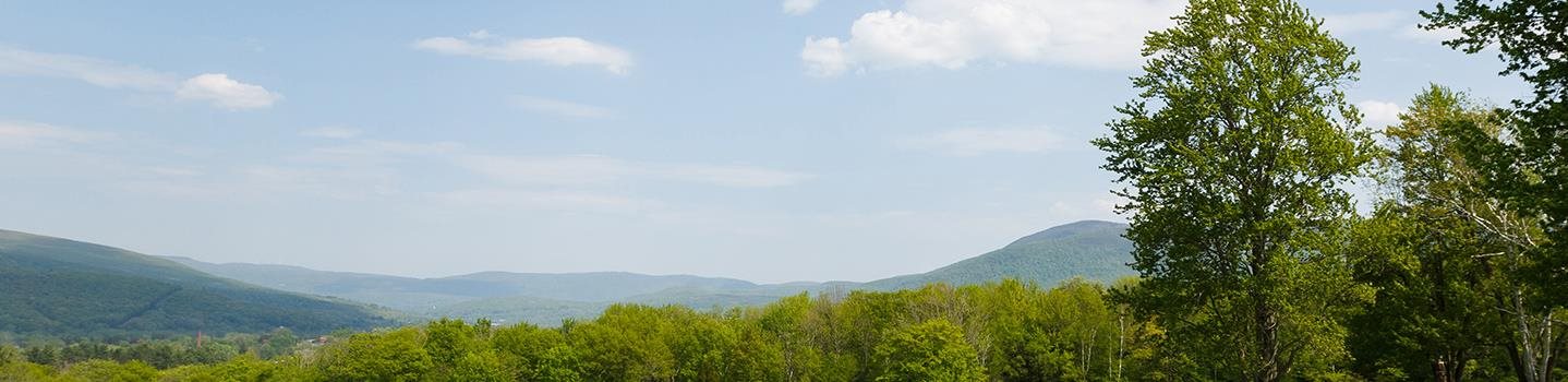
Stone Hill is bounded on the west by Hemlock Brook and on the east by the Green River. From north to south it extends roughly from Field Park to Scott Hill Road. In recent decades, changes to the hill reflect the region’s shift from its agricultural beginnings to the development of the town, college, and Clark campus. The aerial views show how the landscape of Stone Hill has changed since 1935. The Clark campus has developed on the north end of the hill, while elsewhere farmland has largely given way to forest or residential development. The hedgerows that can be seen separating pastures and hayfields in the 1940 image can still be found in 2015 in spite of the subsequent growth of woodlands.
Recovering Place: Reflecting on Stone Hill
By Mark C. Taylor
An illustrated book chronicling the land art and sculptures created by Mark C. Taylor at his home in the Berkshire hills, echoing themes found in the exhibition. Supported in part by Herbert A. Allen, Jr. and the Clark Art Institute and published by Columbia University Press. Call the Museum Store at 413 458 0520 to order.